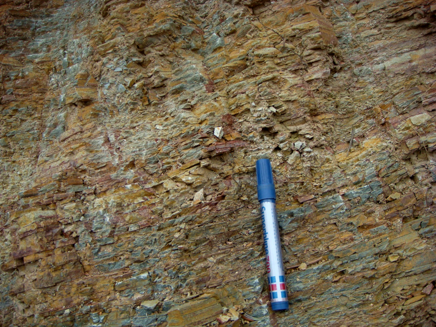
Gongdong Fm
Type Locality and Naming
Northernmost Guangxi. The Gongdong Fm was named by the Guangxi party of regional geological survey in 1966 and was formally published on Guidebook of 1: 200 000 Scale Geological Map of Rongan in 1968. The typical section is situated in Gongdong village, Rongsgui County, Guangxi Zhuangzhu Zizhiqu (Guangxi Zhuang Autonomous Region). Uppermost formation in the Danzhou Gr.
[Figure: Type section of the Gongdong Fm]
Synonym: (拱洞组)
Lithology and Thickness
The Gongdong Fm is composed of gray and grayish green sericite-slate, sericite-phyllite, sericitized quartz-phyllite intercalated with metamorphic sandstone, arkosic sandstone, siltstone. The lower part has more sandstone, in some places even dominated by sandstone, which is locally intercalated with tuffaceous arkose, tuffaceous slate, thin-bedded ferruginous sandstone, conglomerate and lenses of dolomite. The rhythmites composed of meta-sandstone, siltstone, quartz-sericite slate and sericite-slate are very developing and each cyclothem varies from a few centimeters to several meters, with flat and parallel beddings, oblique beddings and cross-beddings, generally with flute cast structures. The Gongdong Formation is dominated by turbidite and the thickness varies from 384 to 1783 m.
Relationships and Distribution
Lower contact
The lower part rests conformably on the underlying Hetong Fm
Upper contact
The top is overlain unconformably by the Chang'an Fm (glacial Sturtian)
Regional extent
Northernmost Guangxi.
GeoJSON
Fossils
Age
Depositional setting
Additional Information
